Introduction
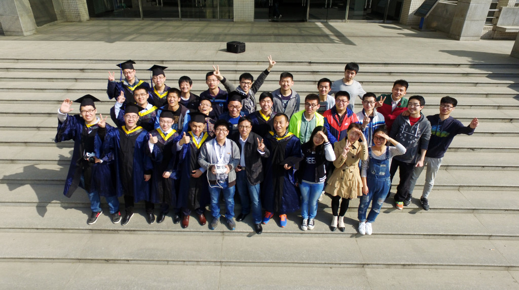
RTMapper is a software based on computer vision and deep learning for real-time and online creating and processing digital map. It provides full sets of solutions for map creation, difference/object detection. Through RTMapperMobile the full task can be accomplished just one-click by DJI drone, in addtion our technology can be integrated into you UAV system by using RTMapperSDK to make your system has the capability of real-time processing. Detailed usage manual can be found at online documents.
Features
Online and Real-time
Based on our developed visual SLAM and map-fusion algorithms, the map creation do not need wait. The speed can reach 200 images/second.
GCP-free and Large Scene
The system accepts GPS/RTK information to fuse different information for achieving high-accuracy. It also has smart cache algorithm for handling large-scene maps.
SDK for Professional
For integrating our technlogy into you UAV system, we provide RTMapperSDK to make the impossible to possible.
3D Map Reconstruction
The SLAM estimated position/attitude information can speedup 3D reconstruction.
Spatial-temporal Processing
Based on the feature of easy-to-use and fast processing, the inspection can be performation with high frequency and routinely, therefore, the differences and dangerous can be easily detected.
Intelligent Navigation
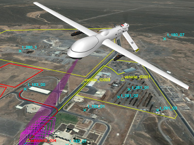
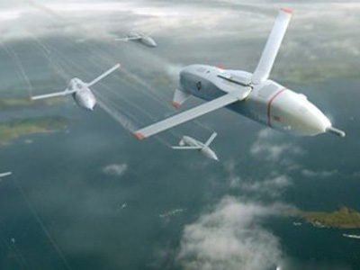
Through the real-time map creation, it provides an autonomous naviation for UAV or smart weapons for positioning in unkonw or complex enviroment.
Demonstration
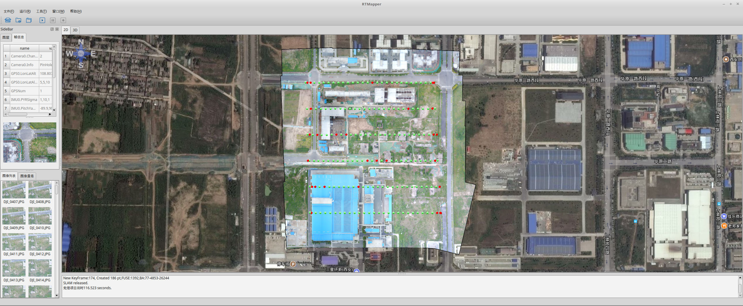
RTMapper GUI
The system can processe 1080p video with 30 FPS, and 540p video with 60 FPS.
GCP is not required anymore, our algorithm can be integrated into your ground-control-station by RTMapperSDK


